National Hurricane Center: How the World’s Most Trusted Storm Forecast Shop Works—and Why It Matters Now
Published: August 9, 2026
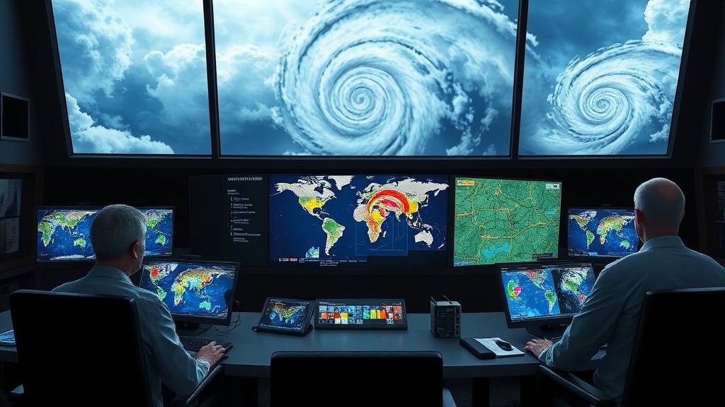
Introduction: What the National Hurricane Center is—who it serves and how it operates
The **National Hurricane Center (NHC)** is a U.S. government forecasting and warning authority charged with monitoring, predicting, and communicating weather hazards from **tropical cyclones** over the **Atlantic Ocean and the Caribbean Sea**, including the **Gulf of Mexico**—and, in a closely related mission set, **hurricane and tropical cyclone activity in the Eastern Pacific**. It is part of the **National Weather Service (NWS)**, which itself sits under the **National Oceanic and Atmospheric Administration (NOAA)**. Operationally, the NHC is headquartered in **Miami, Florida**, and its work combines meteorology expertise with public-safety communication.
To understand the NHC properly, it helps to know what it does, not just that it “tracks storms.” The NHC’s core responsibilities include:
In day-to-day terms, the NHC takes input from a multi-layered observing system: satellites (geostationary and polar-orbiting), aircraft reconnaissance missions that sample storm structure and intensity, radar where available, ocean and buoy data, surface observations, and lightning detection. Forecasters also rely on numerical weather prediction models that simulate the atmosphere’s behavior—then apply human judgment to interpret model spread, uncertainty, and storm-specific characteristics.
The NHC is also intensely procedural. It works from standardized thresholds and frameworks—so that what the public receives is consistent across events. When a storm forms or threatens, the NHC establishes the timeline: **forecast discussions**, **track and intensity updates**, **public advisories**, and hazard-specific information. This is the difference between “information” and “warning.” The NHC is designed to do the latter.
The Catalyst: Why the National Hurricane Center is trending right now
The National Hurricane Center is trending in public conversation not because it suddenly began forecasting, but because the **stakes of tropical cyclone forecasting are rising**—and attention spikes when several reinforcing signals converge:
1. **More frequent mainstream engagement with storm preparedness**: In recent years, social media platforms, mobile alerts, and streaming news have created a near-real-time public expectation of storm updates. When NHC advisories change—especially when the forecast track or intensity guidance shifts—those updates spread quickly.
2. **Intensifying climate-risk awareness**: Even though any single storm cannot be labeled as “caused” solely by climate change, broader awareness about the increased potential for extremes (such as warmer sea surface temperatures and more moisture-laden rainfall) makes people scrutinize storm outcomes. The NHC’s role becomes central: it is the official source that turns risk into forecasts.
3. **High-profile storm seasons and heightened forecasting scrutiny**: Each year that includes major hurricanes or disruptive tropical systems pulls attention toward the institution responsible for official track forecasts and hazard messaging. When impacts are severe, communities look backward at what was said, how uncertainty was communicated, and what preparedness guidance was available.
4. **The public’s renewed focus on uncertainty**: The “cone” is a graphical representation of uncertainty, not a certainty of impact. Yet controversy often erupts when expectations don’t match the forecast framing. As viewers increasingly interpret cones as guarantees, the NHC becomes a subject of debate—and thus trend-worthy content.
In short: the NHC trends when storms become a shared cultural moment, and when the public seeks authoritative explanations for why forecasts sometimes shift.
Deep Dive: Analytical context, historical background, and second-order implications
A brief historical arc: from warnings to decision-grade forecasts
The institution behind today’s NHC has roots in earlier U.S. weather services that began issuing tropical storm warnings as coastal communities learned—often painfully—the cost of underestimating cyclones. Over decades, the NHC matured as observational and computational capabilities improved.
Key milestones in the NHC’s evolution include:
This is an important conceptual shift. A hurricane’s real-world harm depends on more than the storm’s eye track. Storm surge is driven by storm size, wind field, speed of movement, angle of approach, and coastal geography. Rainfall hazards depend on moisture content, storm translation speed, and interactions with mid-latitude weather systems. The NHC’s communication increasingly reflects this reality.
Why forecasting is hard—and why the NHC’s uncertainty language is essential
Track forecasts are probabilistic because the atmosphere behaves chaotically. Small differences in initial conditions can produce diverging outcomes after a few days. Modern ensembles attempt to quantify this spread by running multiple model variations.
The “cone” is not just a marketing graphic; it is a public-facing tool for statistical communication. It expresses uncertainty in the storm’s future location, while still enabling preparedness planning. The second-order effect of how the NHC communicates uncertainty is profound: when people misinterpret uncertainty as reassurance, they may delay decisions; when they interpret it as inevitability, they may panic prematurely. The NHC must strike a delicate balance—precise enough to be useful, honest enough to be scientifically defensible.
The NHC’s influence extends beyond weather—into economics and policy
Second-order implications are where the NHC’s relevance becomes truly “trend-worthy.” Consider:
The NHC is therefore not merely a meteorological entity; it is a cornerstone of risk communication. It translates complex science into operational language that societies can act on.
The “hazard hub” concept: where the NHC is going
A deeper analytical trend in tropical cyclone communication is the shift toward **hazard-first thinking**. Instead of telling communities only where the eye may travel, the emphasis increasingly lands on **what hazards could affect specific locations**: surge heights, wind impacts, rainfall totals, and tornado likelihood. That approach improves decision quality because it matches how damage happens.
As tools like probabilistic guidance and higher-resolution modeling improve, NHC products can become more spatially targeted—turning broad geographic threats into clearer localized expectations.
Future Outlook: Bob’s prediction for where the National Hurricane Center is heading
Looking ahead, I expect the National Hurricane Center to become even more central to public resilience—not because hurricanes will magically become easier to forecast, but because **the decision systems around forecasts will mature**.
My forward-looking prediction is threefold:
1. **More probabilistic, location-specific hazard guidance** will spread into mainstream decision-making. The cone will remain iconic, but the operational “truth” will increasingly be presented as probabilities of surge, rainfall, and wind impacts for the places people actually live.
2. **Better integration with local emergency systems** will reduce the communication gap between federal forecasts and on-the-ground action. The next leap won’t only be improved models; it will be the faster translation of forecast uncertainty into local, pre-approved response playbooks.
3. **Higher scrutiny—and higher responsibility—will accompany greater public awareness.** As the NHC becomes more visible during storm cycles, institutions that rely on the NHC will demand clearer explanations of how and why forecasts change. The NHC’s challenge will be to maintain scientific integrity while improving interpretability.
In the end, the National Hurricane Center matters because storms test more than weather systems. They test the public’s ability to understand risk, act quickly, and coordinate across institutions. And as the world’s attention continues to swing toward extreme events, the NHC will remain the authoritative translator between atmospheric uncertainty and human decision-making.