Severe Thunderstorm Watch: What It Means, Why It’s Spreading, and How to Act Like a Pro
Published: August 11, 2026
1) Introduction: What a “Severe Thunderstorm Watch” Is
A **severe thunderstorm watch** is an official weather alert that means the **atmosphere is primed for severe thunderstorms** in and around the watch area. In other words: it is not a confirmation that severe storms are happening at this exact moment, but rather a warning that **conditions are sufficiently favorable that severe weather could occur**—sometimes within hours.
In the United States, these watches are issued by the **Storm Prediction Center (SPC)** for much of the country (and by other regional forecasting offices depending on the jurisdiction). They typically appear as a map-shaped advisory covering multiple counties or regions. The watch is part of a broader system of alerts that includes **watches** (be prepared) and **warnings** (take action).
What distinguishes a severe thunderstorm watch is its risk framing. A watch commonly implies potential for hazards such as:
Think of a watch as “the playing field is set.” Meteorologists have detected ingredients—like warm, moist air near the surface; instability that allows storms to grow vertically; and wind patterns that provide lift and organization. If those ingredients continue to align, the atmosphere can “cross the threshold” quickly.
Importantly, a severe thunderstorm watch is **time-sensitive and location-specific**. The watch can expand, contract, or be allowed to expire based on real-time radar, storm reports, and updated model guidance. Families, schools, event organizers, and critical infrastructure planners should treat the watch as an operational signal: **prepare now, verify continuously, and be ready to switch from readiness to action if a warning is issued**.
2) The Catalyst: Why Severe Thunderstorm Watches Are Trending Right Now
Severe thunderstorm watches are trending in public attention not because the phrase is new, but because **the lived experience of weather volatility is more intense and more visible**. In recent seasons, several converging factors have pushed thunderstorm risk into the center of day-to-day conversation:
1. **More frequent rounds of high-impact storm days** in many regions, including periods when storms arrive in clustered outbreaks rather than isolated events.
2. **Rapid escalation from ordinary storms to severe threats**, driven by fast-moving storm systems and highly unstable air masses.
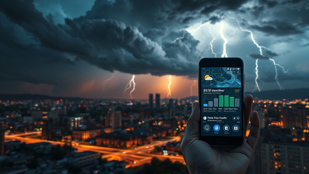
3. **Wider dissemination of alerts through mobile notifications and streaming media**, which increases the chance that people see the watch language immediately—even if they didn’t previously pay close attention to forecast products.
4. **Social media virality**: videos of hail, towering storm anvils, and wind damage travel quickly, and they often coincide with the issuance of watch products.
The key trigger behind the “trend” is operational: when severe weather guidance improves and alerting becomes more immediate, the public notices more often. In effect, the system is doing what it’s designed to do—turning meteorological probability into actionable public awareness.
3) Deep Dive: The Science, the History, and the Second-Order Implications
Historical context: from folk wisdom to probability-based warnings
Severe thunderstorm alerts emerged from a long arc in weather forecasting. Early societies relied on observation—darkening skies, wind shifts, thunder patterns—without the ability to measure vertical wind shear, atmospheric instability, or moisture distribution at scale.
Modern watches, however, reflect a different worldview: **weather as a probabilistic outcome of physical ingredients**. Over decades, improvements in:
have transformed forecasting from “what did the sky do?” into “what can the atmosphere do next?” A severe thunderstorm watch is the product of that mindset.
What meteorologists see: the ingredients and the trigger
While every outbreak has its own recipe, watches typically depend on a pattern of:
When those ingredients line up, storms can produce severe hazards. The “severe” label is not arbitrary—it connects to measurable thresholds, such as hail size categories and wind damage potential.
The second-order implications: public behavior, safety culture, and systems readiness
Here’s where Bob’s journalistic lens sharpens: a watch is not just a meteorological statement; it’s a **behavioral and economic signal**.
1. **Switching from assumption to procedure**
Many people interpret storms through experience (“It looks bad” or “It’ll probably miss”). A watch demands a different approach: treat the event as **procedurally manageable**. That means having a plan for shelter location, devices and power reliability, outdoor time schedules, and how to receive updated advisories.
2. **Risk management in workplaces and schools**
Organizations that dismiss watches as “just weather” often pay later, when warnings turn into cancellations, delayed logistics, or safety incidents. A watch provides time—often hours—to revise outdoor activities, secure equipment, and brief staff.
3. **Communication complexity**
Second-order risk also appears in confusion between watches and warnings. A warning means take action immediately; a watch means be ready. Communities that consistently blur the distinction experience avoidable harm.
4. **Infrastructure strain**
Damaging winds and hail can stress power grids, transportation systems, and communications networks. Even when storms don’t directly hit every location in the watch area, their peripheral impacts—road closures, downed lines, debris—can cascade.
Why storms can be so difficult to “nail down”
A severe thunderstorm watch is partly issued because forecasting is honest about uncertainty. Thunderstorms are inherently nonlinear systems: small changes in humidity, temperature, or boundary interactions can shift the severity outcome.
That’s why watches are about **probable severe potential**, while warnings are about **observed or imminent severe conditions**. The system is built to balance urgency with accuracy.
4) Future Outlook: Bob’s Forward-Looking Prediction
Looking ahead, severe thunderstorm watches will become even more tightly integrated into everyday decision-making. My prediction is that within the next several years:
But the core principle will remain unchanged: a severe thunderstorm watch is a **call to prepare**, not a guarantee of devastation. The future will bring faster tools and better forecasting—but safety will still depend on disciplined human action when the atmosphere turns from ordinary to dangerous.
So when you see a severe thunderstorm watch, don’t just read it. **Use it**: review your plan, move activities indoors, secure what can be secured, and keep an updated channel open for the next alert—because the atmosphere can change quickly, and readiness is the difference between inconvenience and injury.